The Point of Ayr Lighthouse

0 comments


The Point of Ayr Lighthouse (Sunrise)

The Point of Ayr Lighthouse, also known as the Talacre Lighthouse, is a grade II listed building situated on the north coast of Wales, on the Point of Ayr, near the village of Talacre. It was built in 1776 by a Trust of the Major, Recorder and Aldermen of Chester to warn ships entering between the Dee and the Mersey Estuary. It was eventually fell into disuse and was decommissioned in 1884. It is now a privately owned residential property. Not only is it a listed building it literally lists to one side.
 Courtesy of Wikipedia.

The Point of Ayr Lighthouse (Sunrise)

Bookmark and Share

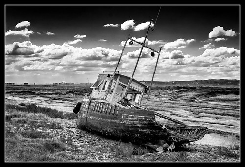
Abandoned boat

0 comments
Abandoned

Abandoned boat along the Heswall coastline on the Wirral. UK

Bookmark and Share

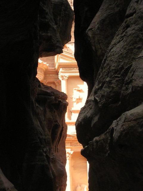
a hidden classic

0 comments
a classic

free desktop wallpaper a hidden classic

Bookmark and Share

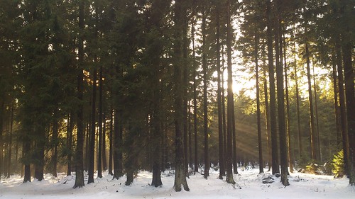
winter woods

0 comments

winter woods, originally uploaded by *n3wjack's world in pixels.


Bookmark and Share

Christmas Tree

1 comments

Christmas Tree, originally uploaded by highdynamic87.


Bookmark and Share

Finnish Savanna

0 comments

Finnish Savanna, originally uploaded by Jarnicek.


Bookmark and Share

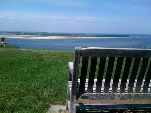
Crane Mansion - The bench overlooking the beach

0 comments


Bookmark and Share

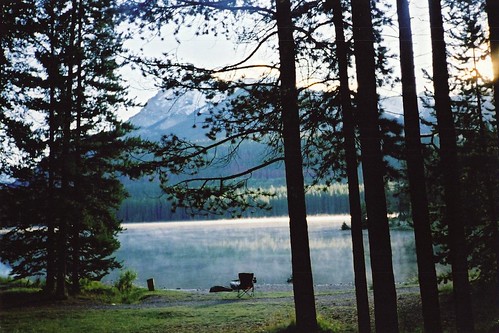
Two Jack Lake

0 comments

Two Jack Lake, originally uploaded by Taylor and Kevin.


Bookmark and Share

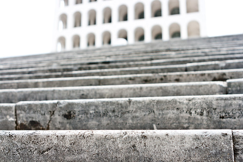
The Palazzo della Civilta Italy

0 comments
Palazzo della civiltà italiana - IMG_7956

The Palazzo della Civiltà Italiana was constructed as part of the program of the Esposizione Universale Roma, a large business center and suburban complex, initiated in 1935 by Benito Mussolini for the planned 1942 world exhibition and as a symbol of fascism for the world. The Palazzo was designed by the architects Giovanni Guerrini, Ernesto Bruno La Padula and Mario Romano and constructed between 1938 and 1943. It was inaugurated on 30 November 1940 as the centerpiece of the Esposizione and continues to be its most iconic building. The structure is also considered one of the most representative examples of Fascist architecture at the EUR. Since November 2003, the palace has been closed to the public for restoration.

Bookmark and Share

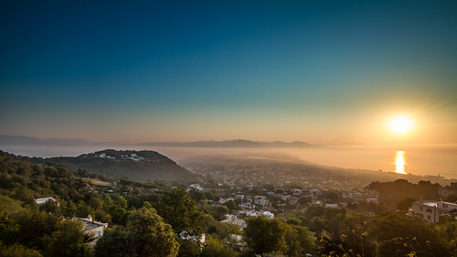
Circeo and San Felice at sunrise

0 comments

Monte Circeo or Cape Circeo (Italian: Promontorio del Circeo, Latin: Mons Circeius) is a mountain remaining as a promontory that marks the southwestern limit of the former Pontine Marshes. Although a headland, it was not formed by coastal erosion–as headlands are usually formed–but is a remnant of the orogenic processes that created the Apennines. The entire coast of Lazio, on which the mountain and the marsh are located, was a chain of barrier islands that was formed on a horst, made part of the mainland by sedimentation of the intervening graben. Monte Circeo, as it is sometimes also called in Italian, is located on the southwest coast of Italy, about 100 kilometres (62 mi) south/southeast of Rome, near San Felice Circeo, on the coast between Anzio and Terracina. At the northern end of the Gulf of Gaeta, it is about 5 kilometres (3.1 mi) long by 1.5 kilometres (0.93 mi) wide at the base, running from east to west and surrounded by the sea on all sides except the north. The land to the north of it is 15 metres (49 ft) above sea level, while the summit of the promontory is 541 metres (1,775 ft). While the headland is quite steep and hilly, the land immediately to the east of it is low-lying and very swampy. Most of the ancient swamp has been reclaimed for agriculture and urban areas. The mountain, the coastal zone as far north as Latina, including the only remaining remnant of the swamp, and two of the Pontine Islands offshore, Zannone and Ponza, have been included in the Circeo National Park. The mountain is composed mostly of marl and sandstone from the Paleogene and of limestone from the lower Early Jurassic. en.wikipedia.org/wiki/Mount_Circeo

Bookmark and Share

Related Posts with Thumbnails


Search This Blog